Fully editable Outline Map of Europe. Comes in AI, EPS, PDF, SVG, JPG and PNG file formats.
Map info
Projection: Mercator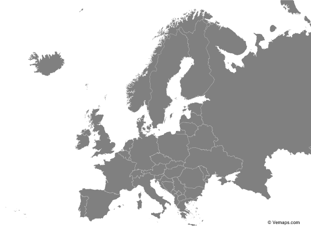 Map of Europe Continent
Single color
Countries
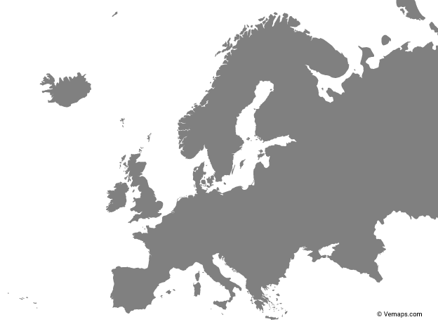
Map of Europe Continent
Single color
Countries
 Map of Europe Continent
Multicolor
Countries
Map of Europe Continent
Multicolor
Countries
The most popular maps on the website.
 North America Vector Map
Outline
Countries
North America Vector Map
Outline
Countries
 United States Vector Map
Outline
States/Provinces
United States Vector Map
Outline
States/Provinces
You must agree to attribute Vemaps.com
How to attribute?
Please provide such link on your website or design:
Europe Continent Map by Vemaps.com
By clicking the "I Agree & Download" button you agree to the Terms and License Agreement in regards to the file(s) you are downloading. This download is the intellectual property and copyright of Vemaps.com