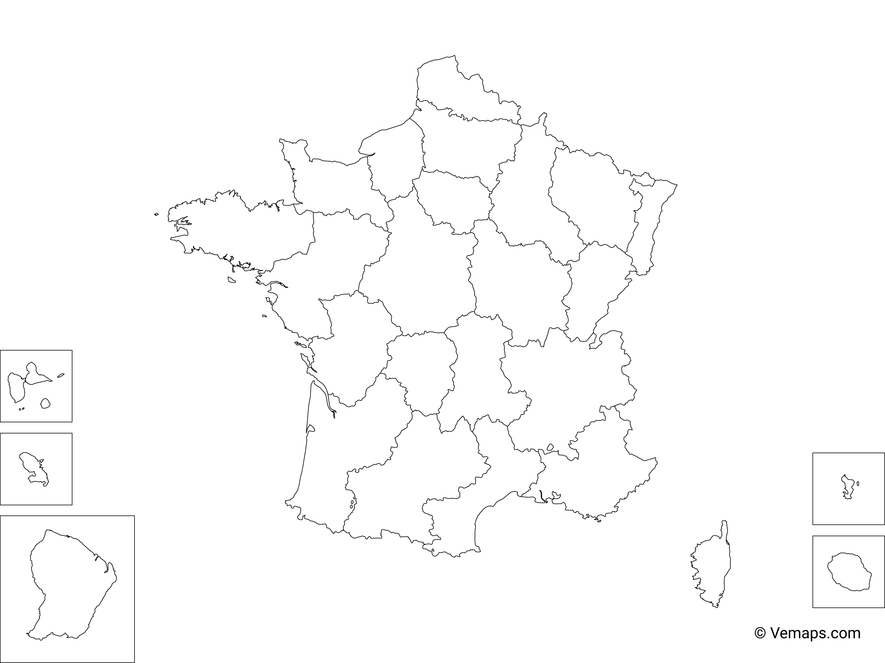
Fully editable Outline Map of France with Regions. Comes in AI, EPS, PDF, SVG, JPG and PNG file formats.
Map info
Projection: Web Mercator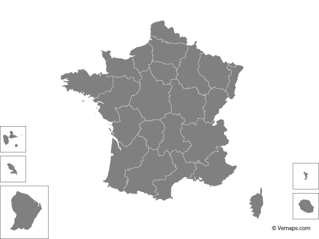 Map of France
Single color
States/Provinces
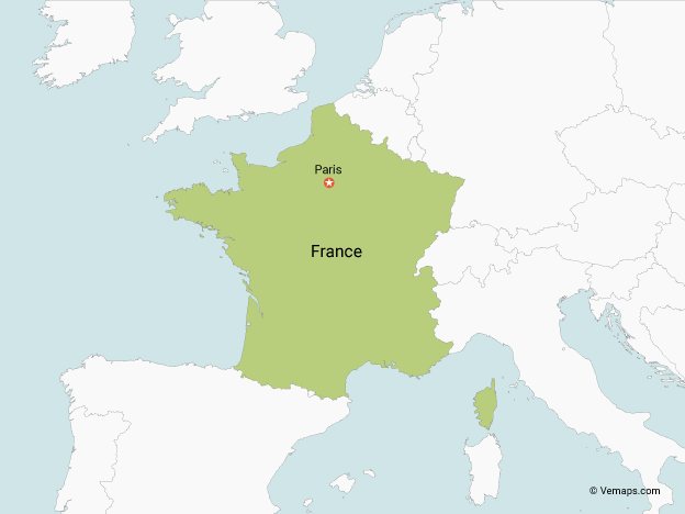
Map of France
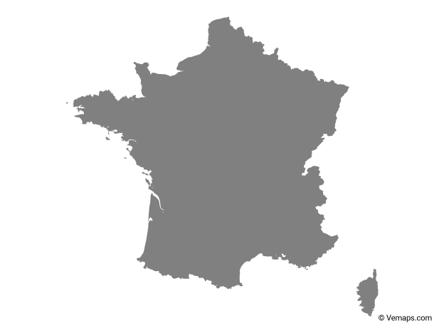
Single color
States/Provinces
The most popular maps on the website.
 North America Vector Map
Outline
Countries
North America Vector Map
Outline
Countries
 United States Vector Map
Outline
States/Provinces
United States Vector Map
Outline
States/Provinces
You must agree to attribute Vemaps.com
How to attribute?
Please provide such link on your website or design:
France Map by Vemaps.com
By clicking the "I Agree & Download" button you agree to the Terms and License Agreement in regards to the file(s) you are downloading. This download is the intellectual property and copyright of Vemaps.com